NYC mobility
A hub-siting analysis across an H3 study grid, using data from a private operational database. Business records are artificial demo data; some synthetic fleet locations use historical 2016 NYC TLC taxi pickup coordinates.
Open dashboard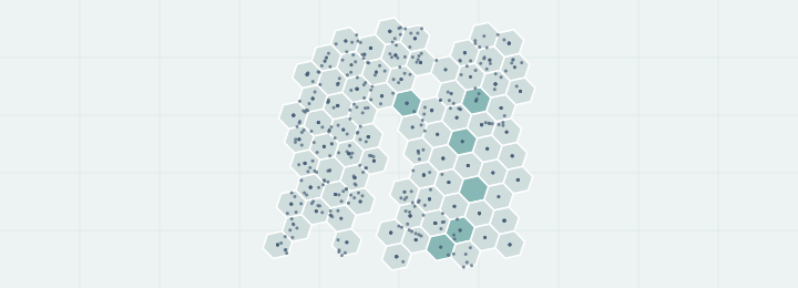
OpenMapStack skills helps AI coding agents produce reproducible GIS work with pinned sources, explicit assumptions, validation, and maps you can explore.
Explore the examplesA hub-siting analysis across an H3 study grid, using data from a private operational database. Business records are artificial demo data; some synthetic fleet locations use historical 2016 NYC TLC taxi pickup coordinates.
Open dashboard
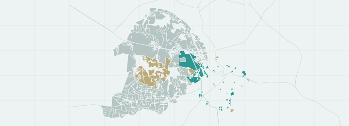
A public-source, real parcels and isochrone-based walking-access analysis with explicit hypothetical scenarios.
Open dashboard